The maps listed under Blue Box resources are original maps used on Link Trainers. Most of these were drawn for Link trainers by TWA’s (Transcontinental & Western Air, Inc.) Cartographic Department in the late 1940s. The predominant scale is 3.1875” per 10 miles. The La Guardia Field map is the odd scaled one.
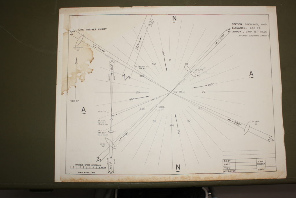
The maps listed all post-date our trainers, but most of the maps are compatible with our units. All of the authentic maps have simplified graphics rather than detailed sectional charts. The crabs likely never drew precision plots. There is too much room for error in crab placement, wheel slippage, etc, but they sure could give a good idea of the aircraft’s pattern and flight.
Most maps are on 22 ½” wide X 17 ½” high paper.